(Rig - In Scottish and Northern English dialect, a ridge or raised strip of unploughed land in a ploughed field))
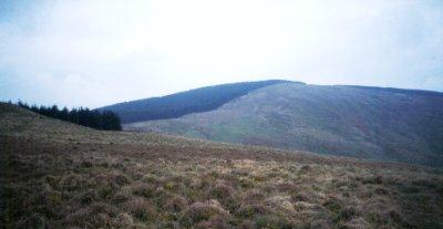 |
| Calkin Rig - 1478 feet - Viewed from the east. |
The following scan from a map shows exactly where to find Calkin Rig relative to Lockerbie.
Calkin Rig can be spotted to the right of the scan, just below "The Shin".
Also note that just out of the scan and below Calkin Rig is Gretna Green.
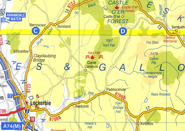 |
| Area of Scotland showing Calkin Rig |
In more detail from Ordnance Survey Landranger map no.79
Also note another feature on the map named as "Calkin".
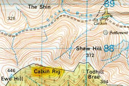 |
| Landranger detail showing Calkin Rig |
This final scan shows the area of Scotland covered by Ordnance Survey Landranger map no.79
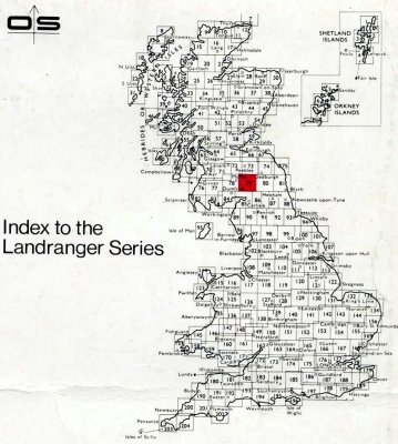 |
| Landranger Area of Calkin Rig |